 Image 1 of 4
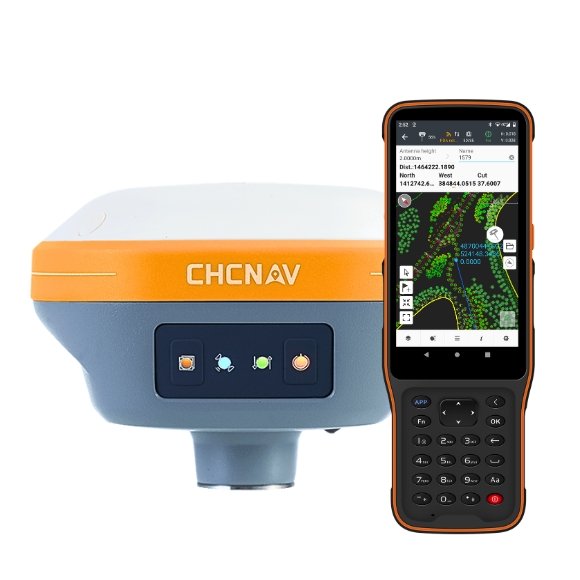 Image 2 of 4
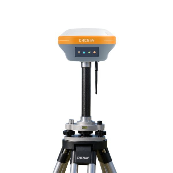 Image 3 of 4
 Image 4 of 4
Why Choose an i73+ Rover & Base Station Package?
No RTK Network Subscription Required
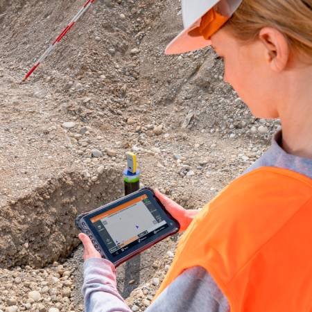
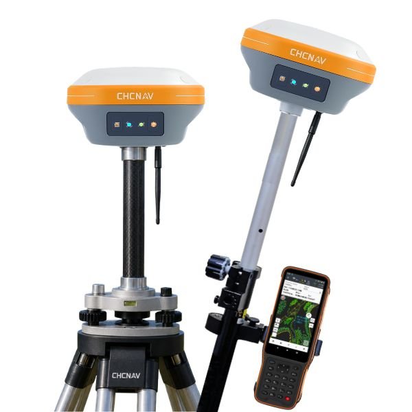
Operate your own local RTK base and transmit corrections directly to your rover via UHF radio. This makes it ideal for contractors and surveyors working in locations where cellular coverage or RTK network access may be limited.
Built-In UHF Radio
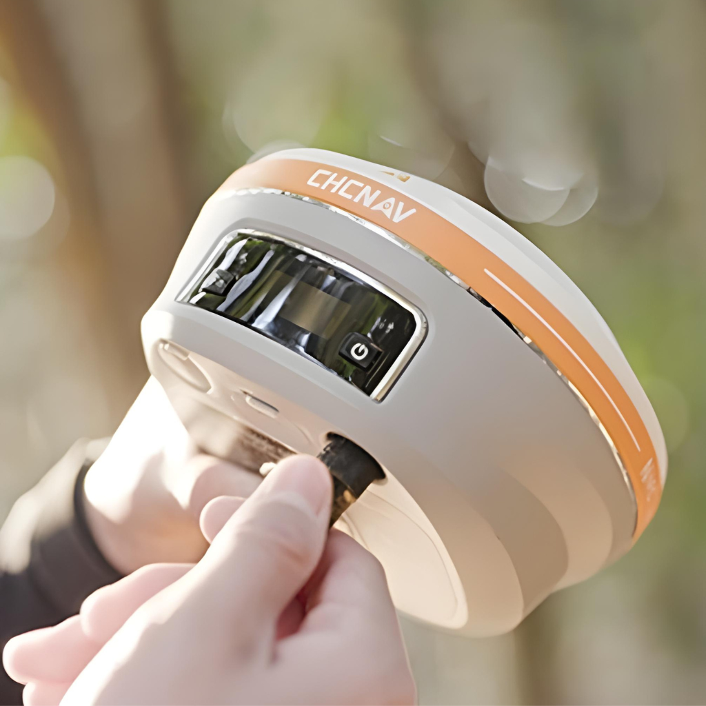
The i73+ features an integrated 410–470 MHz Tx/Rx UHF modem, removing the need for a separate external radio modem for standard base operation.
Long-Range RTK Corrections
The internal UHF radio provides an operating range of up to 3 km.
Survey-Grade Centimetre Accuracy
Deliver the accuracy required for professional surveying, construction set-out, earthworks, drainage, and general positioning applications.
Full-Constellation GNSS
With 1,408 GNSS channels, the i73+ tracks multiple satellite constellations including GPS, GLONASS, Galileo, BeiDou, QZSS and SBAS, providing strong satellite availability and positioning performance.
Portable and Lightweight
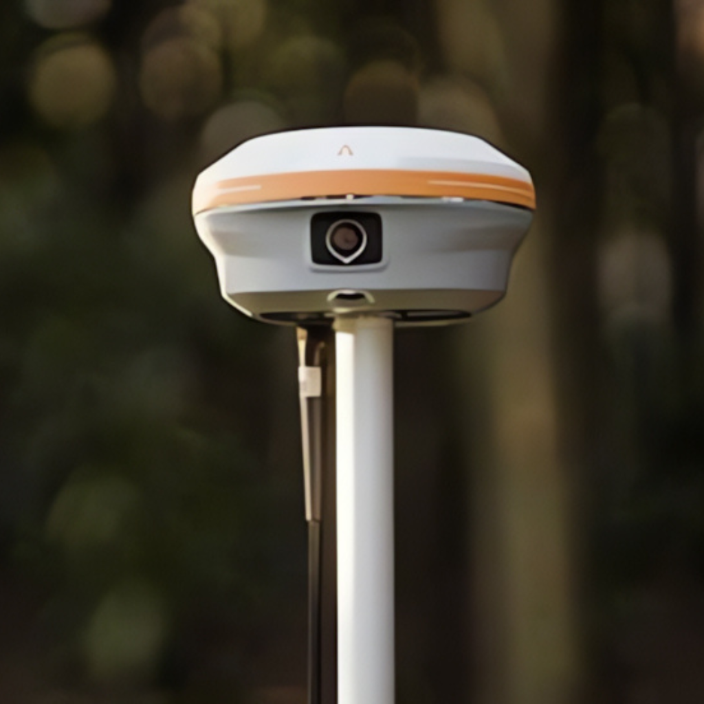
Weighing just 0.73 kg, the i73+'s compact magnesium alloy design ensures easy portability and operation, reducing operator fatigue and enhancing survey comfort during fieldwork.
Pole Tilt Compensation
Boost point measurement efficiency by 20% and stakeout speed by 30% with the i73+. Its automatic compensation for up to 60° pole tilt removes the need for precise pole leveling, enhancing field productivity.
Rugged and Durable
With an IP67 rating, the i73+ is fully dustproof and waterproof, delivering reliable performance in harsh environments. Its rugged design resists shock and vibration, making it ideal for demanding fieldwork.
Download the i73+ Datasheet
| CHCNAV MODEL |  i73+ i73+ |
 i83 i83 |
 i85 i85 |
 i89 i89 |
 i93 i93 |
 ViLi i100 ViLi i100 |
|---|---|---|---|---|---|---|
| Weight | 730g | 1.15kg | 800g | 750g | 1.15kg | 1.39kg |
| IP Rating | IP67 | IP68 | IP67 | IP68 | IP67 | IP67 |
| GNSS Channels | 1408 | 1408 | 1408 | 1408 | 1892 | 1892 |
| Base Radio | 1W | 2W | 1W | 1W | 2W | N/A |
| IMU Tilt Rover |  |
|
|
|
|
|
| LiDAR RTK |  |
|
|
|
|
|
| Laser Rangefinder (150m) | |
|
|
|
|
|
| Visual Survey | |
|
|
|
|
|
| AR Visual Stakeout | |
|
|
|
|
|
| 3D Modelling | |
|
|
|
|
|
| PointSky | |
|
|
|
|
|
| LiDAR Earthwork Volumes | |
|
|
|
|
|
| Battery Life | Up to 34 hrs | Up to 24 hrs | Up to 20 hrs | Up to 16.5 hrs | Up to 34 hrs | Up to 22 hrs |