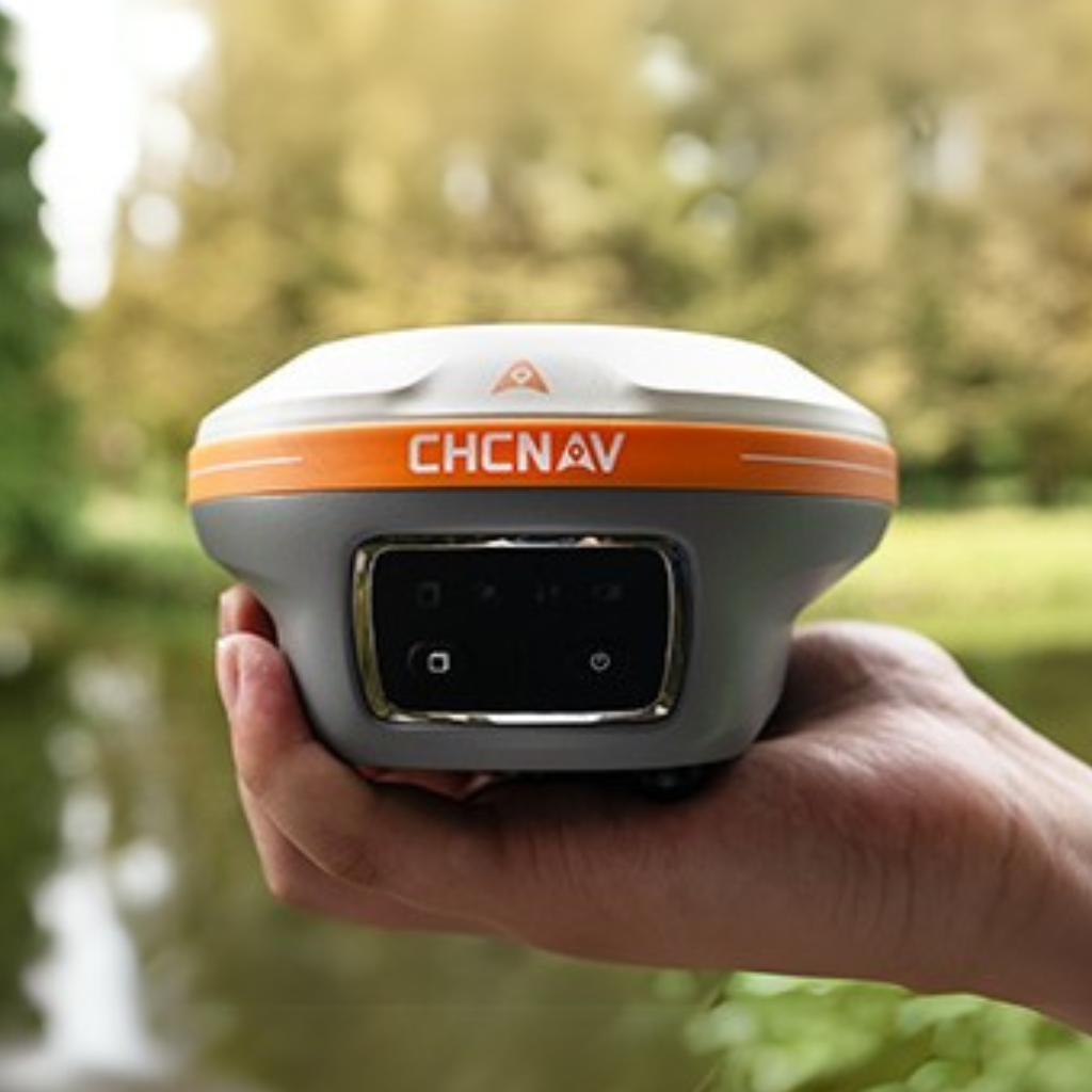
Image 1 of 2
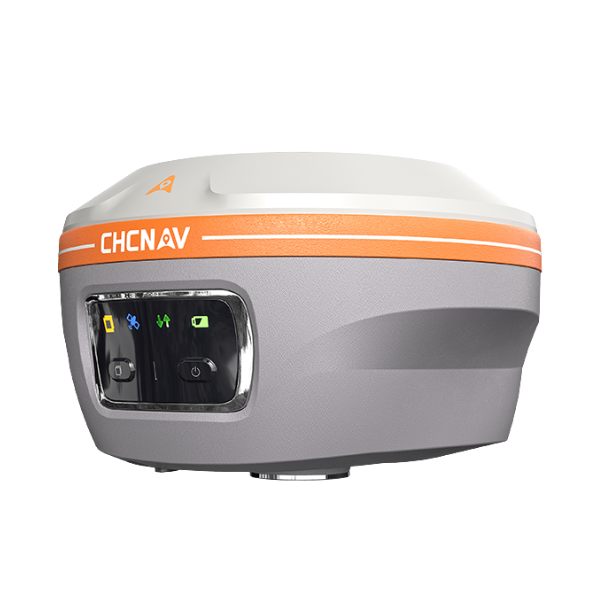 Image 2 of 2
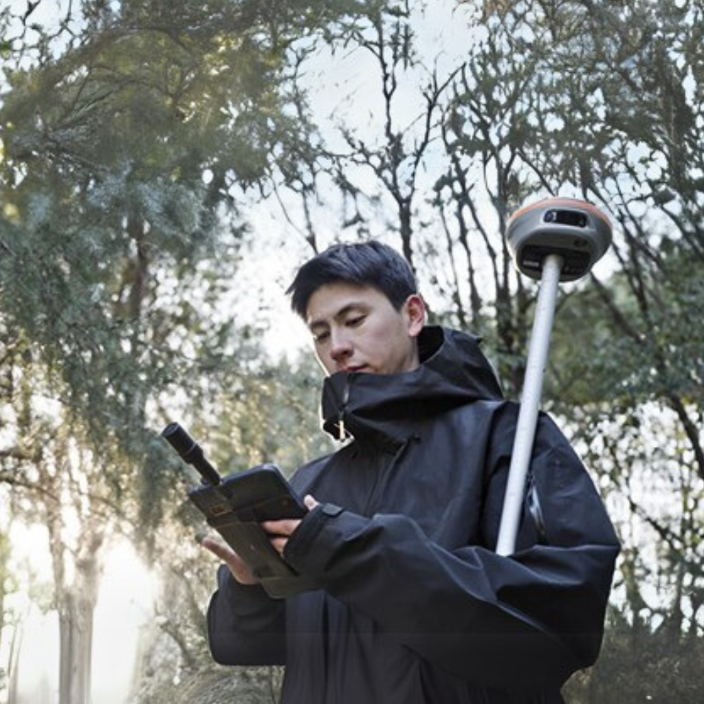
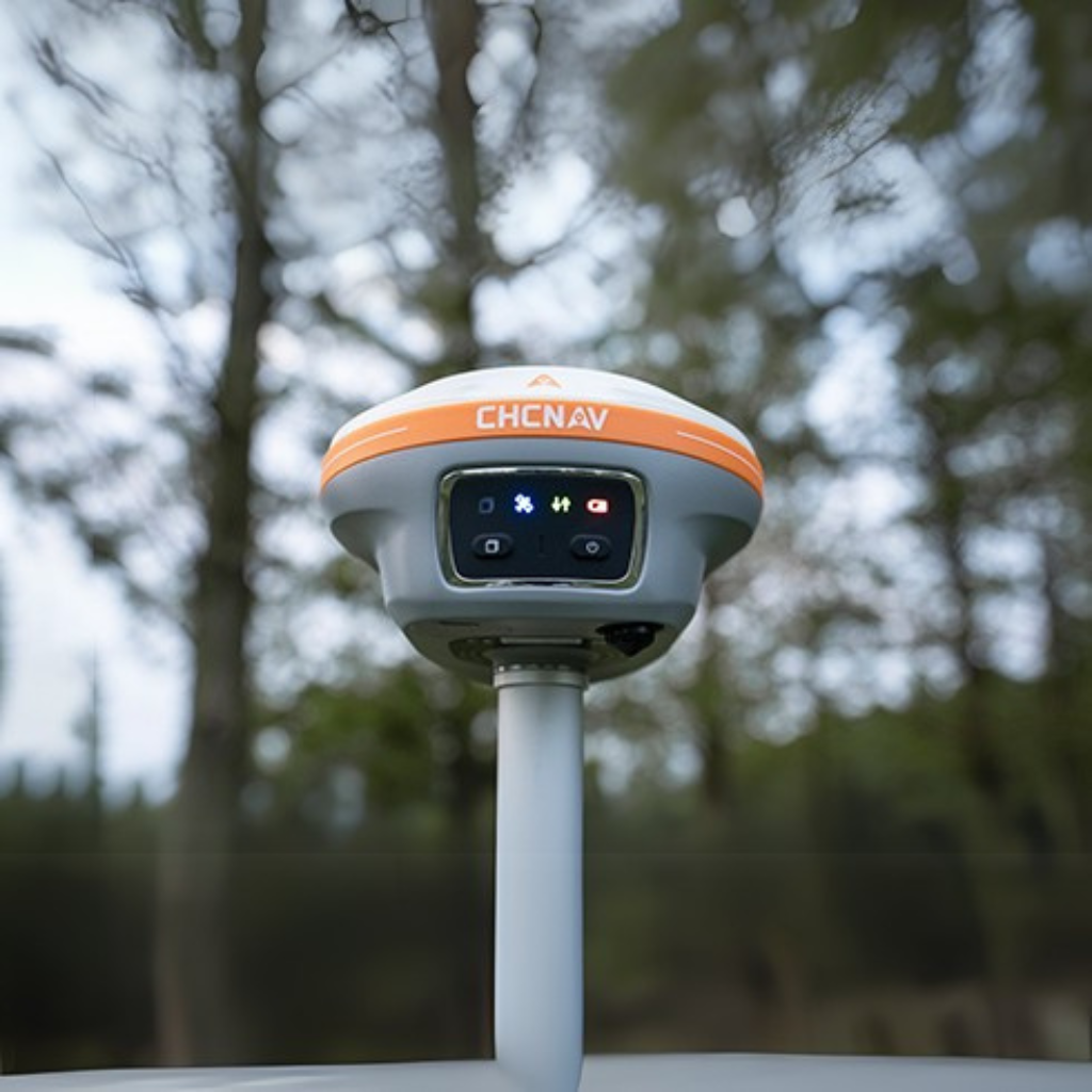
Measure Inaccessible Points
With its laser-based surveying capabilities and high-precision heading information, the i85 enables accurate measurements of points that are otherwise inaccessible, expanding your reach without sacrificing accuracy.
Advanced GNSS Performance
Powered by the iStar2.0 algorithm and ionospheric interference rejection, the i85 achieves a 96% fix reliability in low-latitude regions affected by solar activity. It ensures robust signal tracking in challenging environments.
Smart Aiming Assistance
A true 8-megapixel front-facing camera supported by edge computing provides adaptive 6x zoom and enhanced imagery. Low visibility and distant points can be identified and targeted with precision.
AR Visual Navigation and Stakeout
The i85’s AR-based navigation and stakeout tools simplify workflows and reduce operator effort by up to 50%. With accuracy up to 10 times greater than conventional gyroscope-based systems, it improves results even for less experienced users.
High-Precision Auto-IMU
The 200Hz IMU supports automatic tilt compensation with no manual initialization required. The i85 maintains 3 cm accuracy within a 60° tilt range, delivering consistent results.
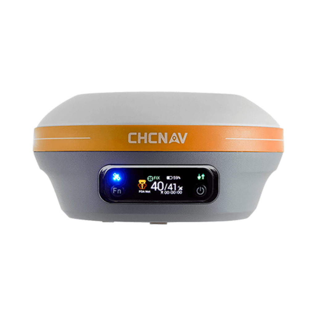
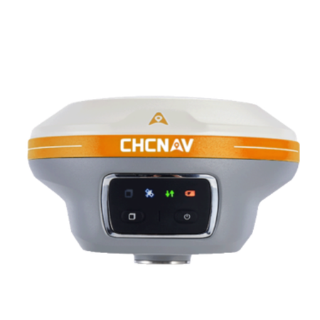
Rugged, Compact Design
Built for demanding field use, the i85 combines all key components into a single compact 800 g unit. It is IP68-rated for water and dust resistance and can withstand a 2-meter pole drop.
Download the i85 GNSS Datasheet
| CHCNAV MODEL |  i73+ i73+ |
 i83 i83 |
 i85 i85 |
 i89 i89 |
 i93 i93 |
 ViLi i100 ViLi i100 |
|---|---|---|---|---|---|---|
| Weight | 730g | 1.15kg | 800g | 750g | 1.15kg | 1.39kg |
| IP Rating | IP67 | IP68 | IP67 | IP68 | IP67 | IP67 |
| GNSS Channels | 1408 | 1408 | 1408 | 1408 | 1892 | 1892 |
| Base Radio | 1W | 2W | 1W | 1W | 2W | N/A |
| IMU Tilt Rover | ||||||
| LiDAR RTK | ||||||
| Laser Rangefinder (150m) | ||||||
| Visual Survey | ||||||
| AR Visual Stakeout | ||||||
| 3D Modelling | ||||||
| PointSky | ||||||
| LiDAR Earthwork Volumes | ||||||
| Battery Life | Up to 34 hrs | Up to 24 hrs | Up to 20 hrs | Up to 16.5 hrs | Up to 34 hrs | Up to 22 hrs |