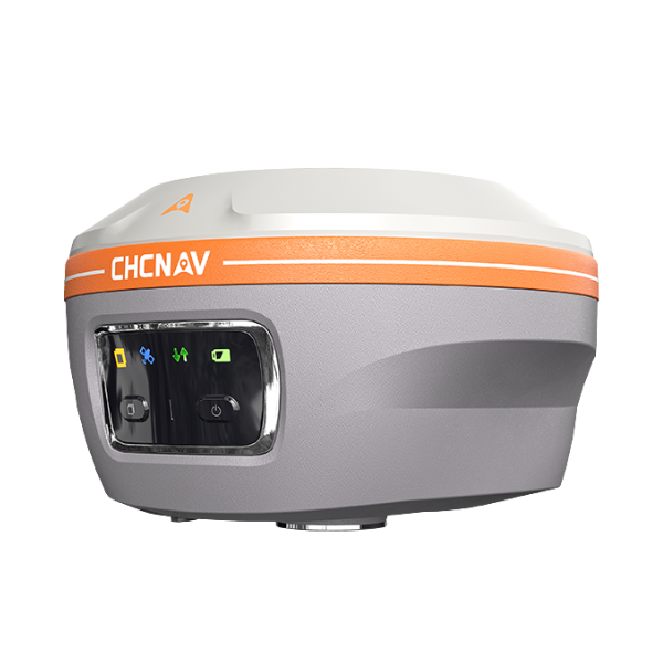
Image 1 of 5
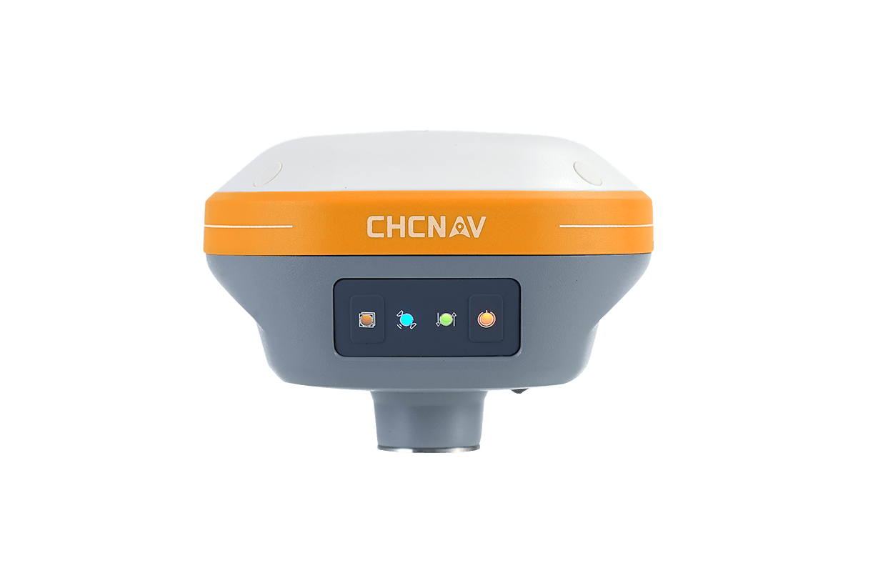
 Image 2 of 5
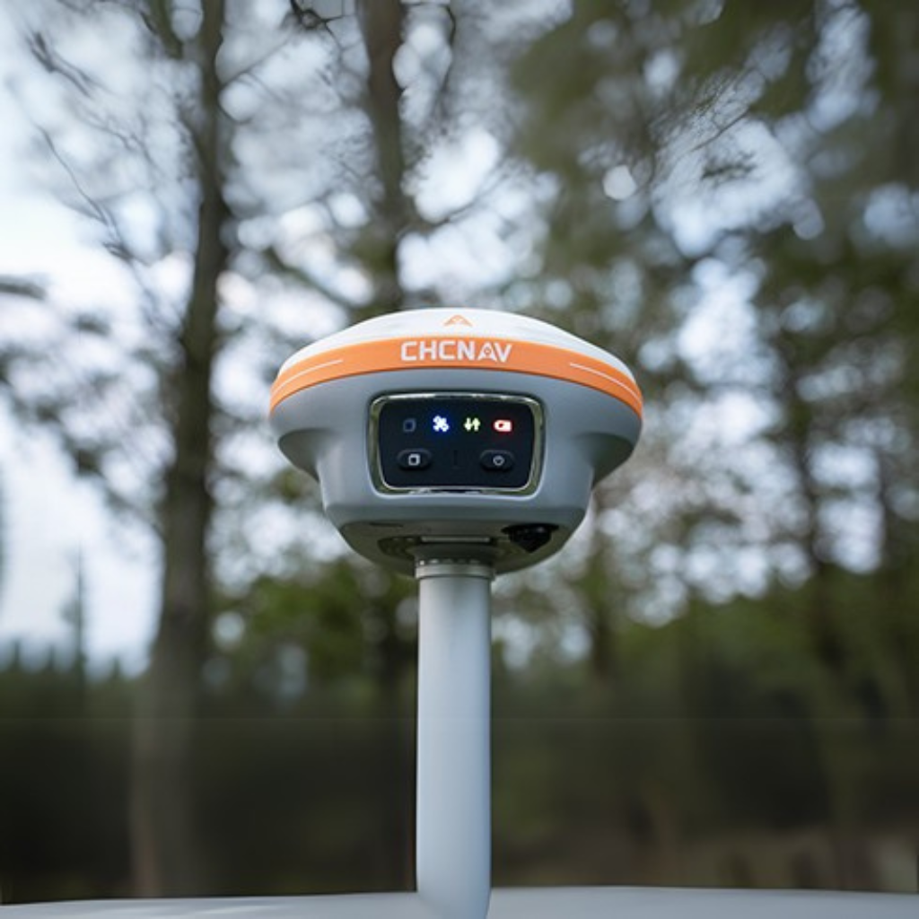
 Image 3 of 5
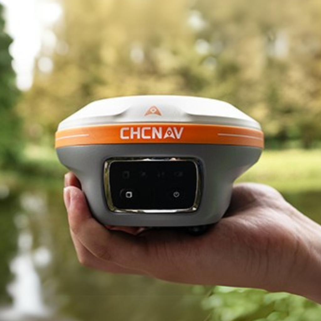
 Image 4 of 5
 Image 5 of 5
Confident Accuracy in Obstructed Areas
Powered by next-gen sensor fusion and 3D laser scanning, the ViLi i100 redefines accuracy and reliability. It filters GNSS satellite signals affected by blockage or reflection, ensuring stable, jump-free 5 cm accuracy in challenging environments such as alleys, forests, or near high-rise buildings. Once right, always right.
Enhanced SFix 2.0 Engine
With its SFix 2.0 engine, ViLi i100 delivers 5 cm accuracy within 20 meters in GNSS-denied areas by using 860,000 pts/sec LiDAR and SLAM-based constraints. Trained on tens of thousands of real-world datasets, it resolves GNSS outages without the need to switch to a total station.
3D Point Cloud Earthwork Calculation
With high-precision laser sensing and LandStar software, ViLi i100 enables real-time cut and fill volume calculations on site with 99.98% accuracy. Simply scan, set boundaries, and receive instant results. No surface contact is required, making the workflow accurate, efficient and safe.
Fast Contactless Capture with Vi-LiDAR
With Vi-LiDAR, capture a scene once and batch-select target points to extract multiple 3D coordinates without the need to aim precisely or stay steady. The ViLi i100 eliminates the impact of hand tremors, increases speed and safety, and delivers 5 cm accuracy even at 15 meters with its 8 MP telephoto camera.
All-in-One GNSS Receiver for Any Workflow
ViLi i100 is an all-in-one GNSS receiver combining standard RTK features with next-gen innovation. Paired with LandStar software, it supports CORS, UHF, and PPP modes. Dual cameras enable CAD and AR visual stakeout, increasing efficiency by 50%. The ViLi i100 is reliable and built for professionals.