Image 1 of 2
 Image 2 of 2
Technology that makes your life easier
The GNSS receiver's tilt capability lets you measure inaccessible points and speed up your work. You no longer need to spend time levelling the pole.
The Zenith60 Pro UHF Tilt is calibration free. Simply rock it back and forth to enable your tilt feature. What used to take several minutes can now be done in a few seconds.
The new instrument's resistance to electromagnetic fields gives you confidence that you can rely on your data
| Receiver Specifications | |
| Q-Lock ProTM Functionality | Lowest noise and advanced mutipath mitigation for highest reliability |
| Reliabiliy | 99.99% |
| Measurement Engine | NovAtel OEM7, 555 channels, multi-frequency, multi-constellation |
| GPS tracking | L1 C/A, L1C, L2C, L2P, L5 |
| GLONASS tracking | L1, L2, L2C, L3* |
| BeiDou tracking | B1l, B1C, B2l, B2a, B2b, B3l |
| Galileo tracking | E1, E5a, E5b, AltBOC, E6* |
| QZSS tracking | L1 C/A, L1C, L2C, L5, L6* |
| NavIC | L5** |
| Positioning rate | 5Hz, 20Hz (opt) |
| SBAS (EGNOS, WAAS, MSAS, GAGAN) | L1, L5 |
| Precise Point Positioning (PPP) | TerraStar C Pro, L-Band (opt) |
| Receiver accuracy (rms)** | |
| RTK | Hz: 8 mm ± 1 ppm (rms) V: 15 mm ± 1 ppm (rms) |
| Network RTK | Hz: 8 mm ± 0.5 ppm (rms) V: 15 mm ± 0.5 ppm (rms) |
| Static | Hz: 3 mm ± 0.5 ppm (rms) V: 5 mm ± 0.5 ppm (rms) |
| Static - long | Hz: 3 mm + 0.1 ppm (rms) V: 3.5 mm + 0.4 ppm (rms) |
| Code differential | Hz: 0.25 m (rms) V: 0.50 m (rsm) |
| Interfaces | |
| Keyboard | On/off button |
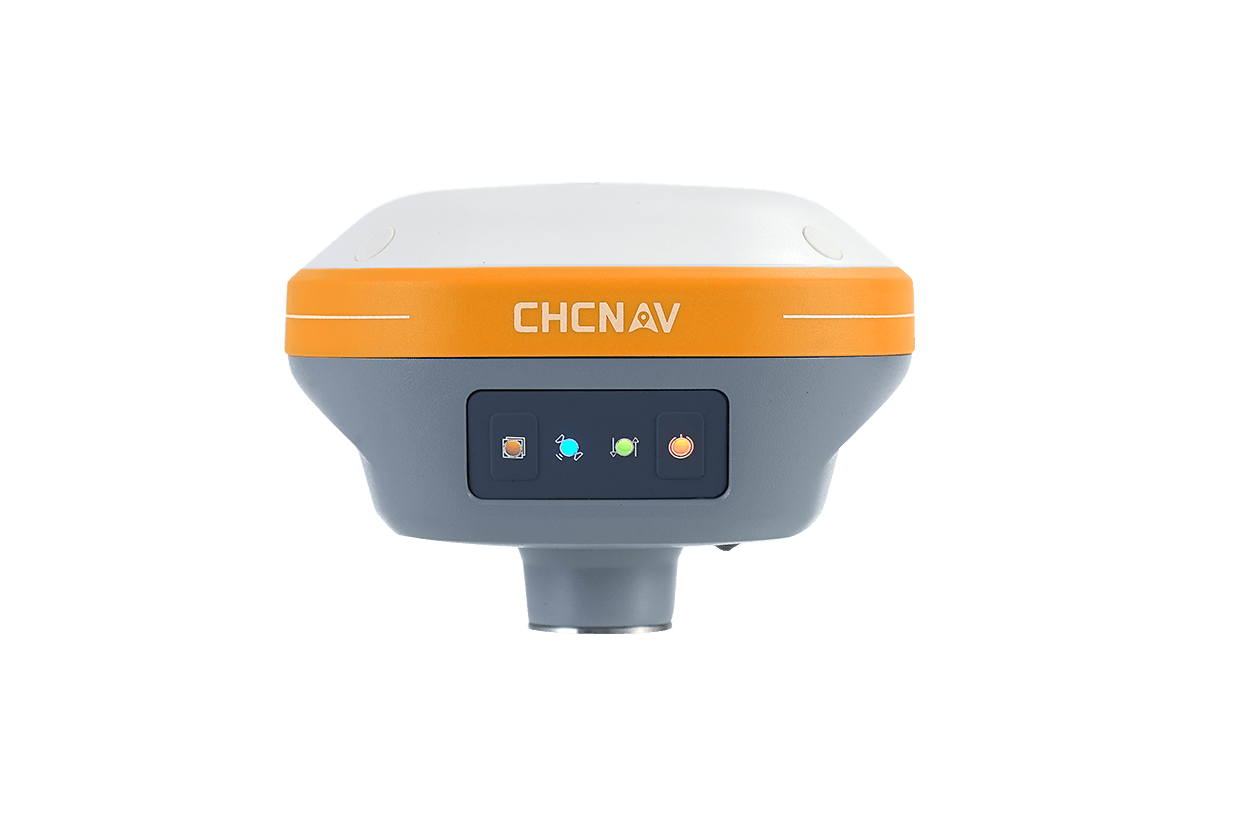
| LED status indicators | Position, RTK, Power, Bluetooth® |
| Data recording | Dual; microSD card and 8 GB internal memory |
| GSM/TCP/IP | Removable SIM card |
| Communications | |
| 4G LTE module | QUECTEL EG25-G LTE FDD, LTE TDD, UMTS, GSM |
| RTK data protocols | RTCM 2.1, 2.3, 3.0, 3.1, 3.2, 3.3, 3.4, CMR, CMR+, RTCA, NOVATELX |
| NMEA Output | NMEA v3.1, NMEA v4.1 |
| UHF radio module | SATEL TR4+, 500mW, 1000mW transceiver, 403–473 MHz; (opt) |
| Bluetooth® | 2.1 +EDR, V5.0 QR-iConnect functionality |
| WLAN | 802.11 a/ac/b/g/n Hotspot / client mode |
| TNC connector | UHF antenna |
| Communication port | USB, serial & power |
| Physical Specifications | |
| Dimensions | Height 75 mm, ø 166.8 mm |
| Weight | 1.14 kg without batteries |
| Operating temp | –40°C to 65°C |
| Environmental protection | IP68 (IEC 60529) Withstands powerful jets and temp. immersion under water MIL-STD-810G 1 506.6 & 1 512.6 Fully dust tight MIL-STD-810G 1 510.6 |
| Humidity | MIL-STD-810H 1 507.6 |
| Vibration | Mechanical stress resistant according to ISO 9022-36-05 |
| Shock | Withstands 2 m drop onto hard surface |
| Power Supply | |
| Two internal batteries | Hot-swappable, Li-Ion 3.4 Ah / 7.2 V |
| Operating time | 12.5 h in static / 11 h in rover mode |
| External power | 9 V to 28 V, LEMO® plug |
*GLONASS L3, Galileo E6, and QZSS L6 will be provided with future firmware upgrade. **Support of NavIC is incorporated and will be provided through future firmware upgrade. *** Measurement accuracy and reliability are dependent on various factors including satellite geometry, obstructions, observation time, ionospheric conditions, multipath, etc. Figures quoted assume normal to favorable conditions. GeoMax reserve