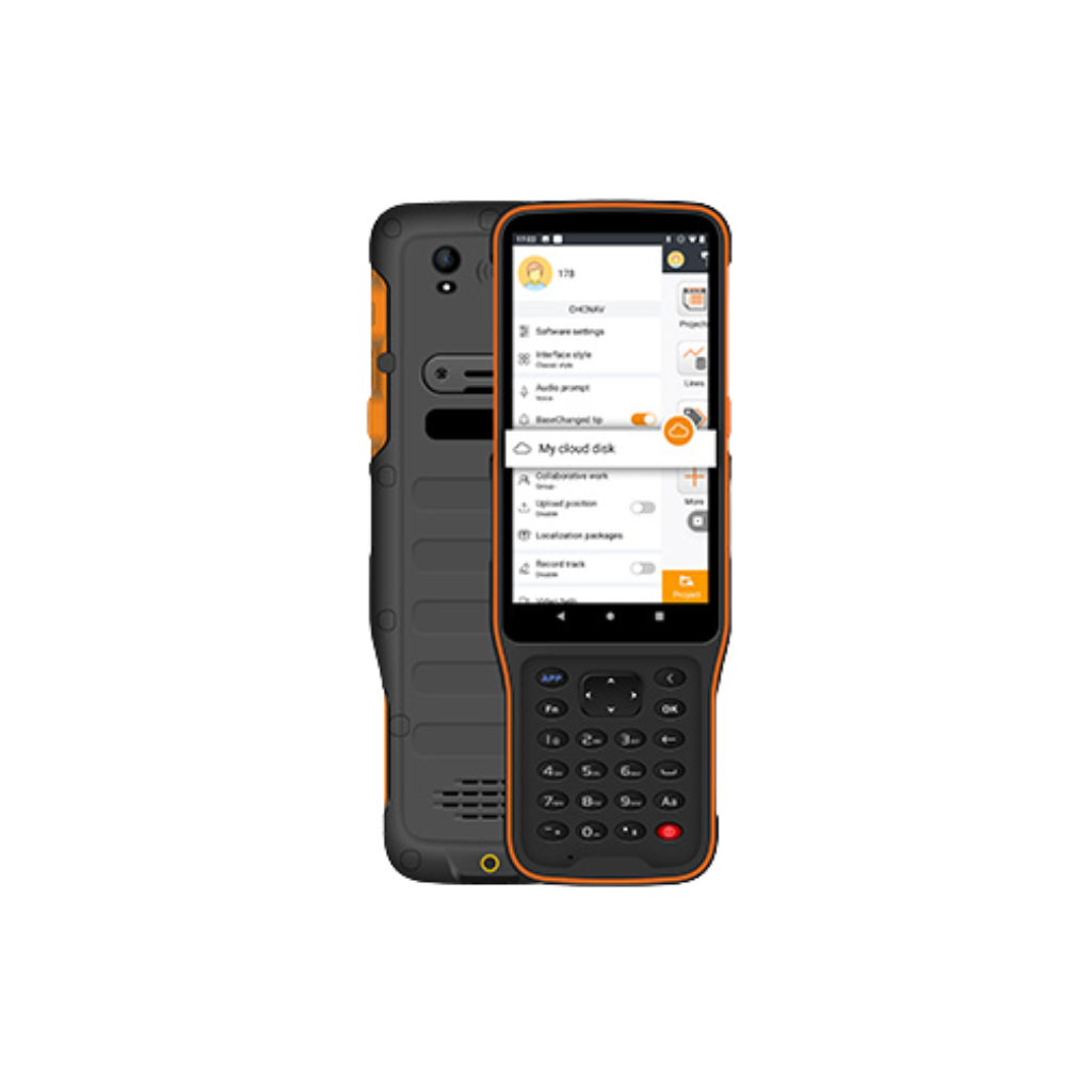
 Image 1 of 2
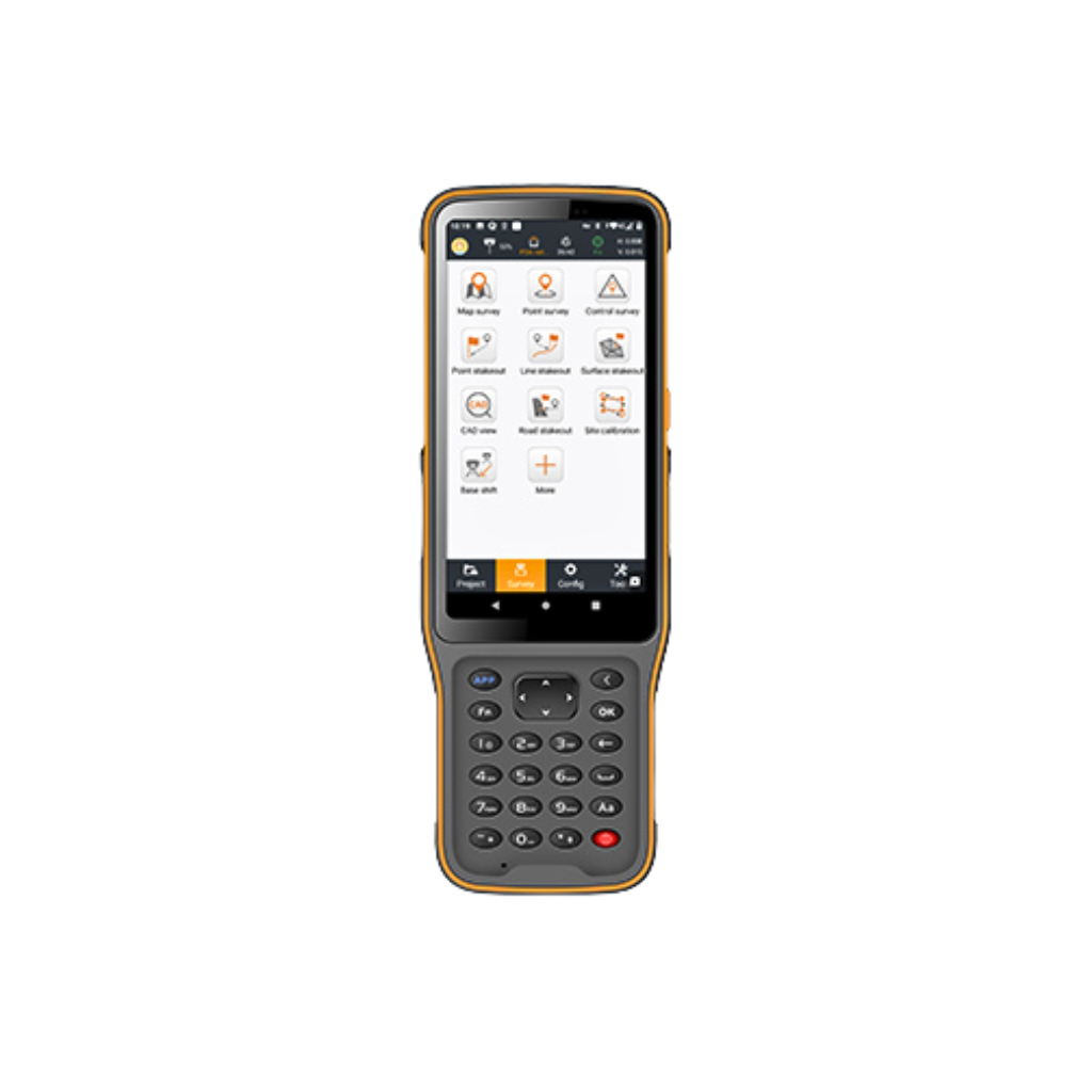
 Image 2 of 2
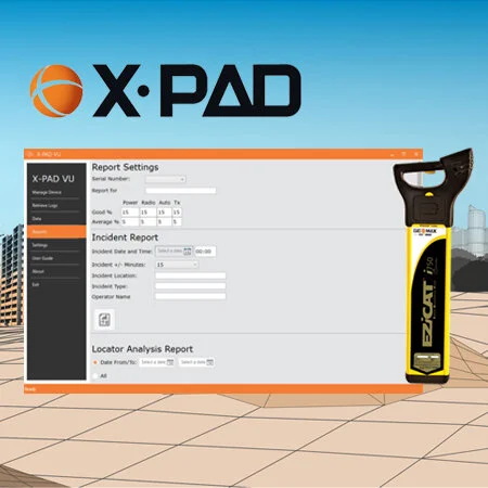
X-PAD VU reporting:
Google Maps: Shows where your i750 cable locator was used, including generating KML files and colour coding the specific services detected. Red pins accurately show the location of live power cables detected.
Dashboard Analysis: Provides analytical information on how the locator was used.
Summary Report: Provides an overview of all locator downloaded log files.
Incident Report: Provides detailed information on how the locator was used for a particular date and time.
This software removes the need for field staff to return to the office to download the days data, saving time and travel expenses.
Analysis of the data generated during a site survey builds a complete picture of the operator and instrument performance. By evaluating the data, managers can minimise risk to excavation teams and potential costs by improving best practice.
The X-PAD VU software will retrieve data from the EZiCAT instruments in a compatible GIS and BIM format.