 Image 1 of 2
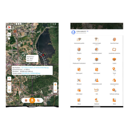 Image 2 of 2
Seamless GIS Integration – Compatible with popular GIS file formats and existing software ecosystems for easy implementation.
High-Performance Mapping Engine – Handles large datasets and gigabyte-scale SHP files with ease.
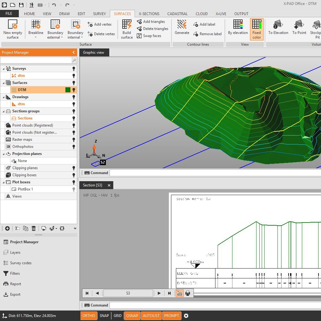
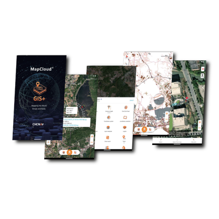
Advanced Data Visualisation – Supports online base maps, thematic mapping, and feature labelling for clearer insights.
User-Friendly Interface – Intuitive design with vivid graphics and large map windows for efficient field and office workflows.
Boosted Productivity – Customisable layer templates and multi-feature capture tools can improve efficiency by over 50%.
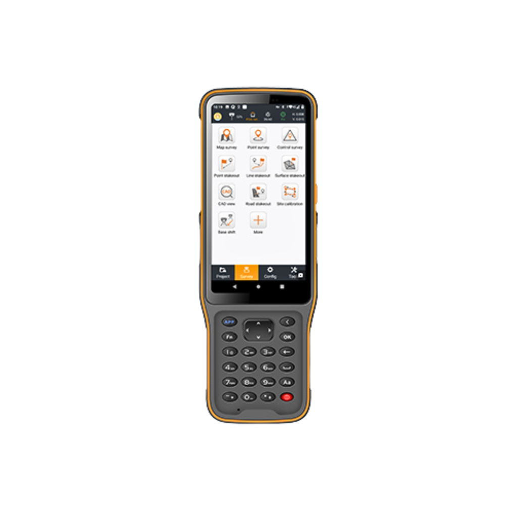
Comprehensive Surveying Tools – Includes coordinate stakeout, track recording, measurements, and audible field guidance.
Flexible Data Support – Works with a wide range of data types, attribute libraries, and global coordinate systems.
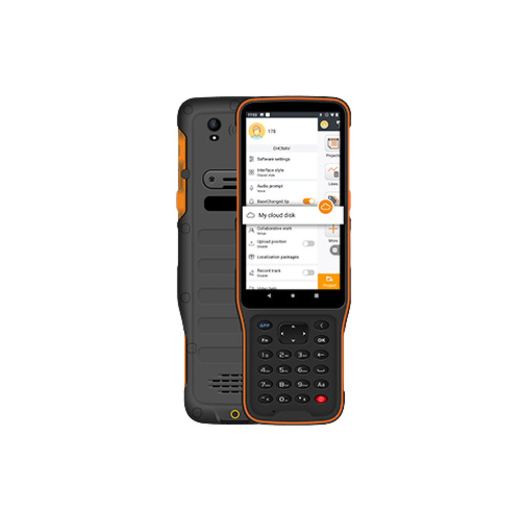
Cloud-Based Collaboration – Securely back up, share, and access project data across teams and locations.
Seamless Device Connectivity – Easily transfer projects between office computers, field controllers, and mobile devices.
Built for Industry Professionals – Ideal for utilities, forestry, pipeline management, municipal assets, and natural resource management.
Improved Accuracy & Efficiency – Streamlines geospatial data collection, mapping, and project management from field to office.