 Image 1 of 5
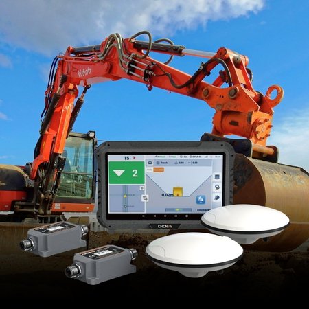 Image 2 of 5
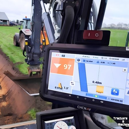 Image 3 of 5
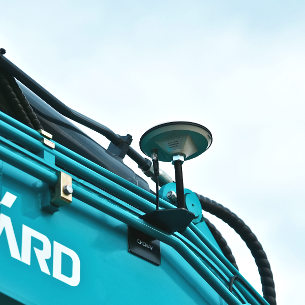 Image 4 of 5
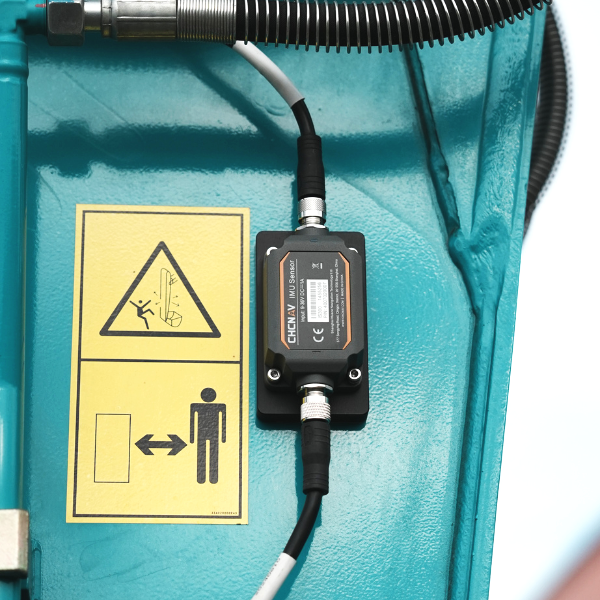 Image 5 of 5
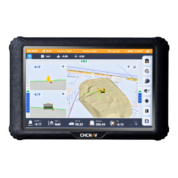
CHCNAV EasyNav delivers industry leading real-world features.
Use your bucket to create designs directly in the field for perfect flat pads, precision trenches & foundations and uniform slopes.
On-site surface design: Create and modify surface designs directly in the field, without the need for surveyors or additional support staff.
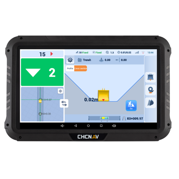
Simple operation: Designed for operators of all experience levels, it is simple and intuitive to use. Learn to operate the system efficiently in just 30 minutes.
Rapid installation and calibration: Installation in around 2 hours and calibration in 15 minutes - minimal downtime, faster deployment across your fleet.
High precision, No Lag: Centimetre accuracy with real-time cut/fill volume data, for precise excavations with fewer errors and less rework.
Local Training & Support: Comprehensive on-site and remote support from our local NZ team to ensure you get the most out of your gear.
Broad Machine Compatibility: Fully compatible with a diverse range of excavators, including swing boom, and offset boom models with or without tilt buckets or tilt hitches.
Seamless Connectivity: Seamless connection to GNSS RTK networks and GNSS base stations, ensuring a consistent workflow and minimizing downtime.
Wide Applicability: Supports tasks like flat pad levelling, digging ditches, creating slopes, and more, managing complex job requirements with ease.
More value from EasyNav 3D versus traditional 2D systems.
EasyNav delivers 3D functionality at the same price point as traditional 2D systems, but with many more practical features!
The ability to create a continuous site model that stays with the machine and doesn’t need to be re-established the next day is a game-changer. Plus you can easily record and return to points at anytime saving time and quickly creating as-builts to document the work completed.
See the quick features comparison below of EasyNav 3D versus traditional 2D systems:
| CHCNAV EasyNav - EMG100 | Traditional 2D Systems | ||
|---|---|---|---|
 |
Works in real-world GPS coordinates |  |
References a laser or local benchmark |
|
Site remains in the same coordinate system day after day | |
Needs re-establishing after moving machine |
|
Continuous in-field digital site model | |
No permanent site model |
|
Record and return to points anytime, export as-builts | |
No point storage |
|
Full in-field coordinated design creation | |
No design creation |
|
3D capability at 2D price | |
2D capability only |
|
Quick to learn, easy to use | |
Complicated setup, difficult to use |
The easiest system to learn and install.
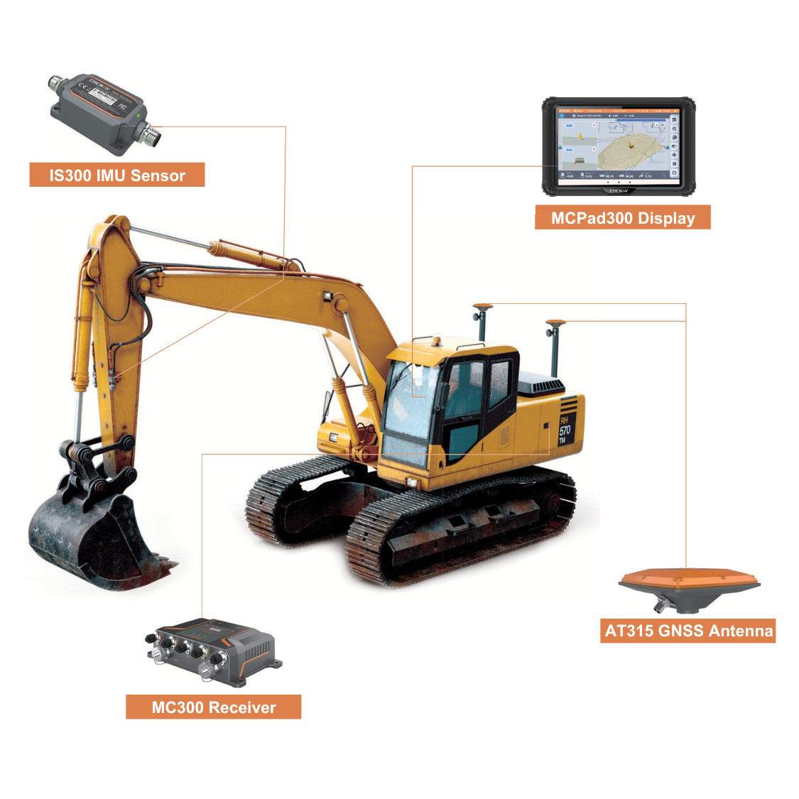
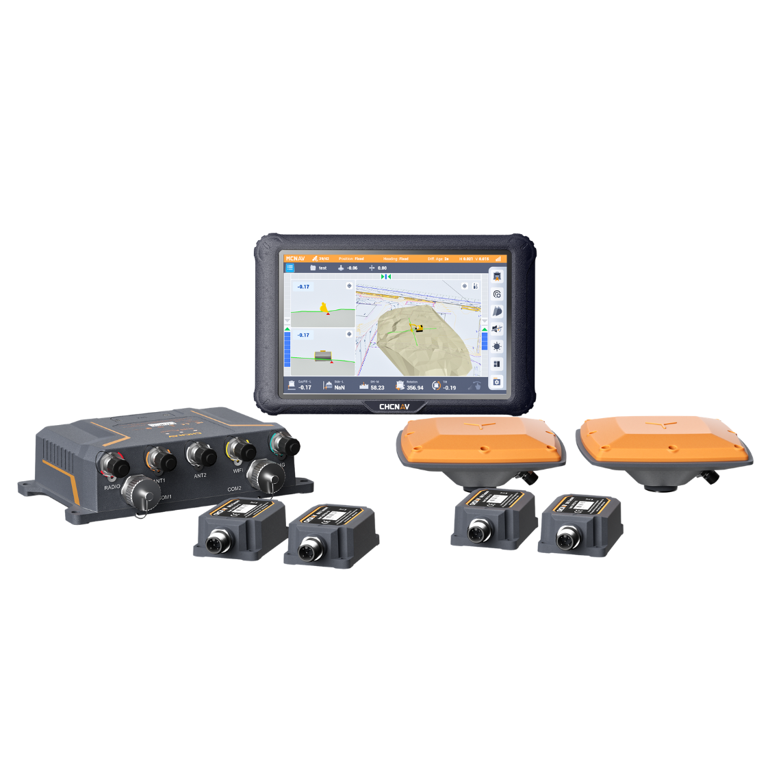
Simple to install and very easy to learn how to use, the EasyNAV system is designed to get Operators reaping the efficiency benefits of machine guidance as quickly as possible. Built to industrial standards and designed to survive harsh construction and excavation environments. The hardware components are suitable for heavy-duty earthmoving environments.
The IMU tilt sensors feature an IP69K rating, this is the highest level of ingress protection, meaning they are fully dust-tight and can withstand close-range, high-pressure, high-temperature washdowns.
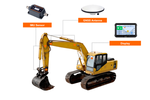
Built to be easy for Operators and boost earthworks efficiency.
Choose a system from global leader CHCNAV that genuinely is affordable for NZ Contractors and delivers the right results. We’ll have you set up to dig it right the first time, every time.

Easy to use
Intuitive and user-friendly software
Easy to set up
Fast installation and calibration process

Easy to profit
Minimise rework and to get the most out of our investment