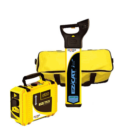
 Image 1 of 3
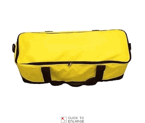
 Image 2 of 3
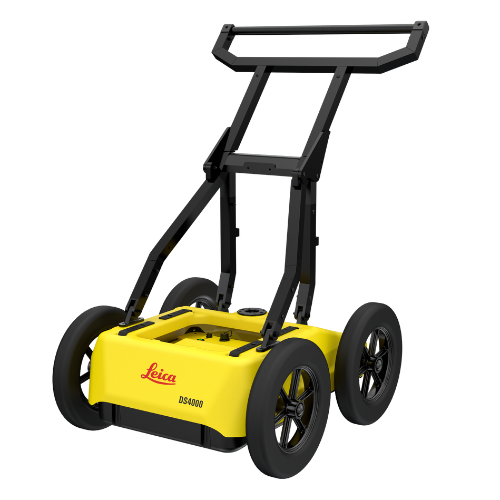
 Image 3 of 3
Extended Detection Range
Detect underground utilities up to 60% deeper than conventional GPR systems, improving visibility in congested subsurface conditions.
Equalised Scrambling Technology (EsT)
Proprietary signal processing enhances target resolution and contrast, enabling clearer identification of utilities at varying depths and soil types.Quick Scan Mode
Streamline field operations with rapid data acquisition, reducing time on site and operational costs.Compact, Single-User Design
Easy to lift at only 20Kg, and ergonomically designed for easy transport and deployment by a single operator—ideal for dense urban settings and confined spaces.Integrated Software Solutions
uMap Field Software: Real-time data collection, visualisation, and georeferencing with intuitive interface.
IQMaps Post-Processing: Advanced 3D data analysis, layer slicing, and export capabilities for CAD and GIS integration.