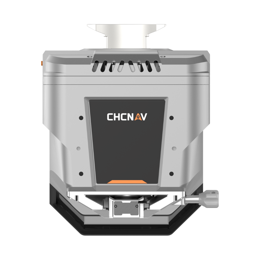
 Image 1 of 6
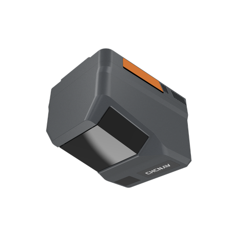
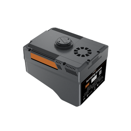 Image 2 of 6
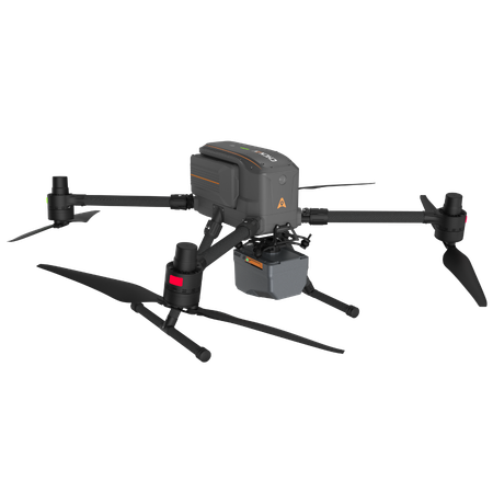 Image 3 of 6
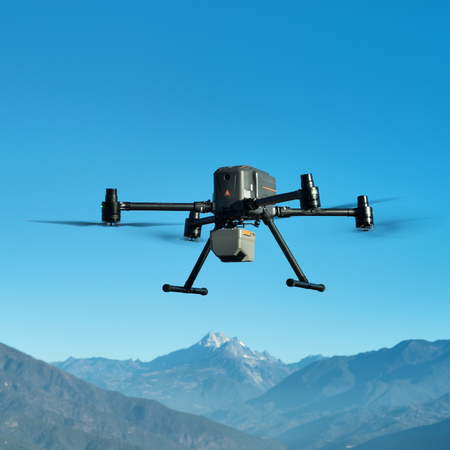 Image 4 of 6
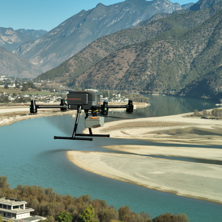 Image 5 of 6
 Image 6 of 6
Long Range & Precision Performance
Up to 2,100 m range, combined with a high-grade IMU ensures accurate positioning and stable operation between 100 and 600 meters AGL in challenging environments.
High-Density Data & Imaging
Advanced LiDAR waveform processing enables the generation of dense point clouds and greater penetration, while flexible single- or dual-camera options improve coverage and efficiency.
Lightweight & Platform Flexibility
Weighing 1.35 kg, the AA6 enables extended flight times and integrates easily with both multirotor and fixed-wing drones for a wide range of applications.