How to Link the Dataset to a Control Mark on a Local Site
How to link the dataset to a control mark on a local site.
Once the Rover and Base has been configured
In the home page of X-Pad Ultimate, select GNSS
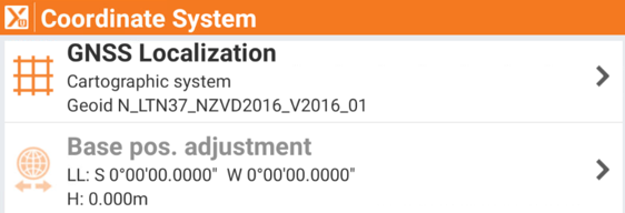
Select co-ordinate system
Select Base Position Adjustment
Select Measure
Select Measure Again
Select the GNSS Point Name (100M)
Select the next icon
Tap the orange ribbon and select the local point within the dataset
Select Next
Select Save