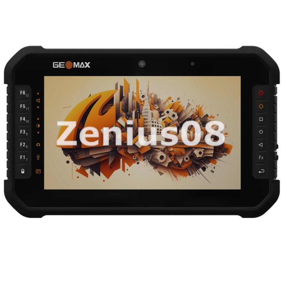
CHCNAV LT60H
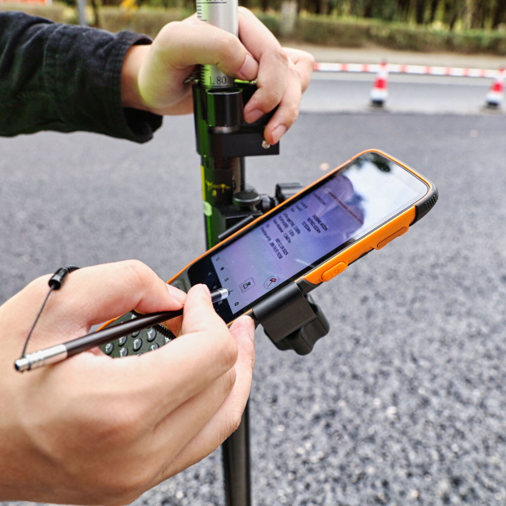
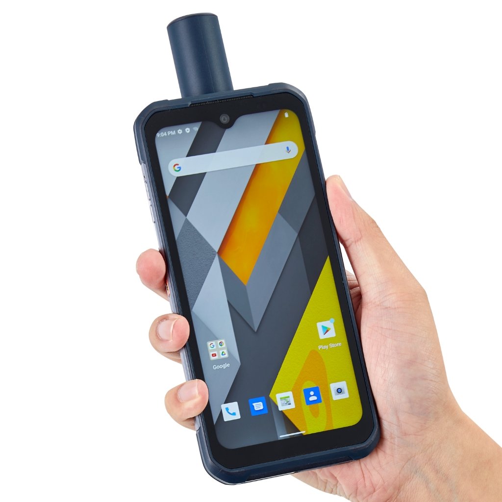
Improve your efficiency and accuracy with the LT60H. Ideal for GIS data collection and utility inspections, this rugged and portable device offers centimeter- or decimeter-level positioning, perfect for demanding field tasks.
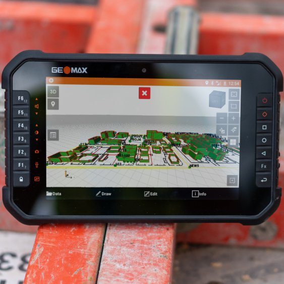
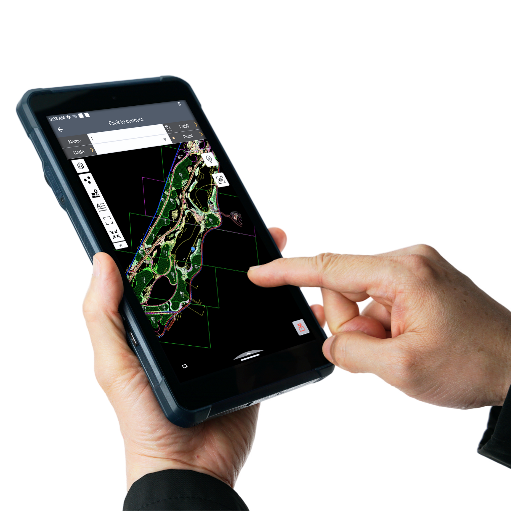
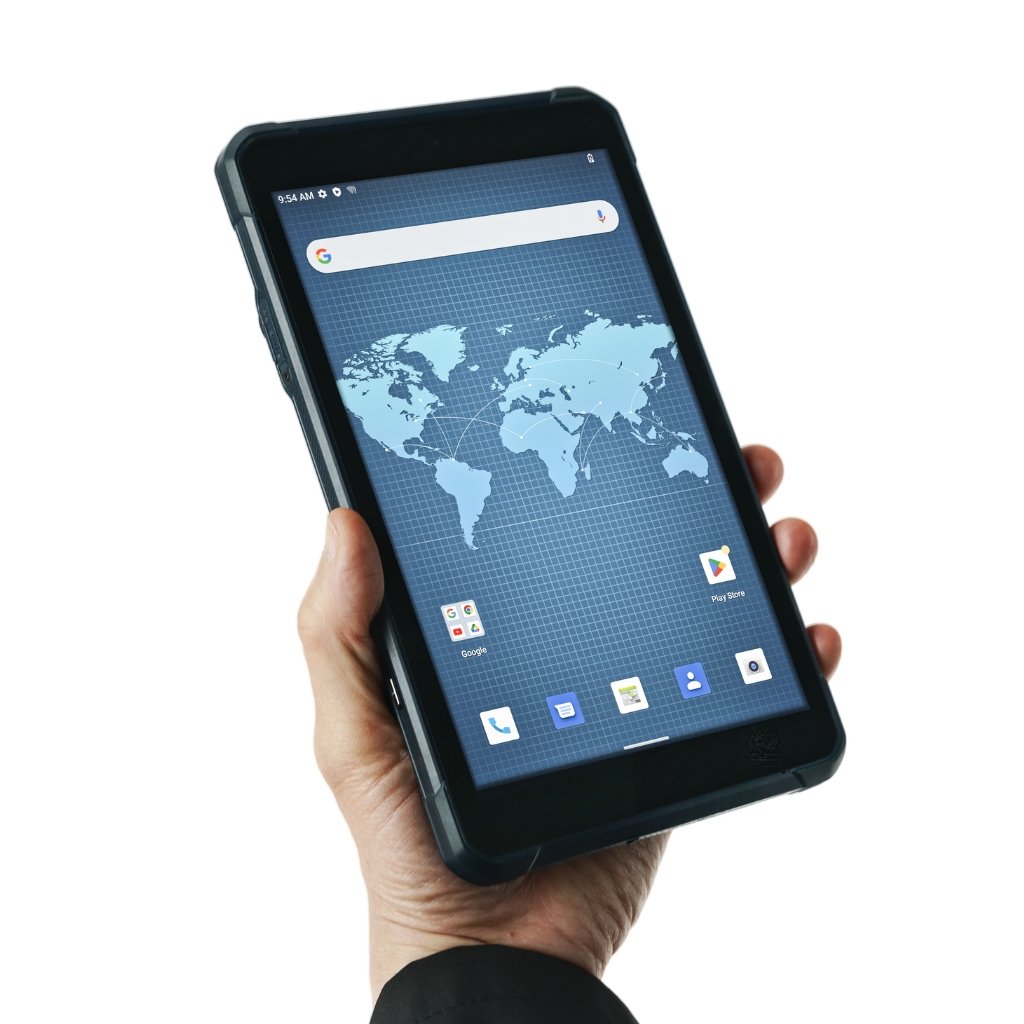
The bright 6.3" display ensures readability in any lighting, letting you focus on capturing detailed photos and managing asset positioning.
Improve your efficiency and accuracy with the LT60H. Ideal for GIS data collection and utility inspections, this rugged and portable device offers centimeter- or decimeter-level positioning, perfect for demanding field tasks.
The bright 6.3" display ensures readability in any lighting, letting you focus on capturing detailed photos and managing asset positioning.
Survey-Grade GNSS Accuracy
Achieve industry-leading centimeter- and decimeter-level accuracy with the 1408-channel GNSS positioning module. The LT60H supports GPS, GLONASS, Galileo, BeiDou, QZSS and SBAS, ensuring reliable accuracy every time.
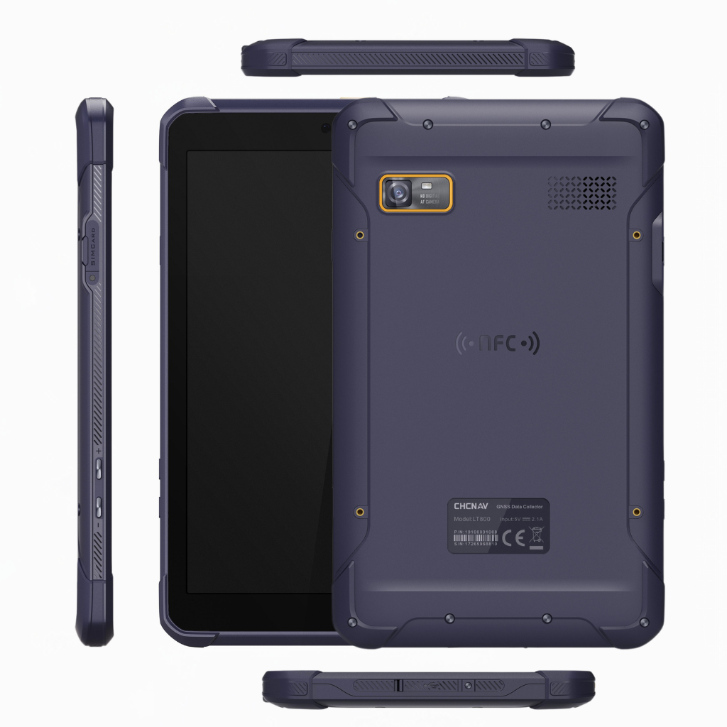
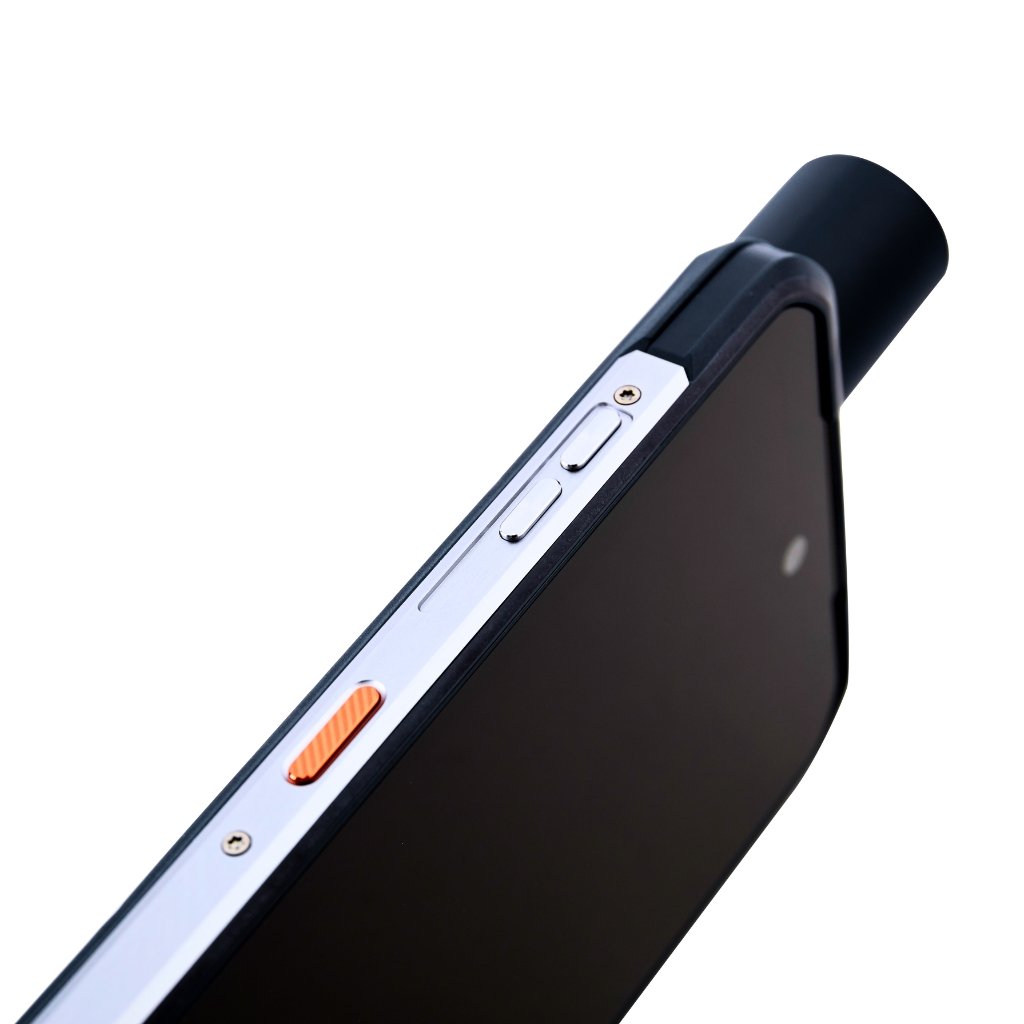
Rugged Smartphone Design
Work with confidence with the LT60H industrial IP67-rated design. Designed for harsh field conditions, the LT60H is resistant to dust, water and drops up to 1.5 meters.
Sunlight-Readable Display
View your data in crisp detail on the 6.3-inch, 400 PPI IPS display with Corning Gorilla Glass 3 protection. The sunlight-readable display ensures visibility in bright conditions for improved field usability.
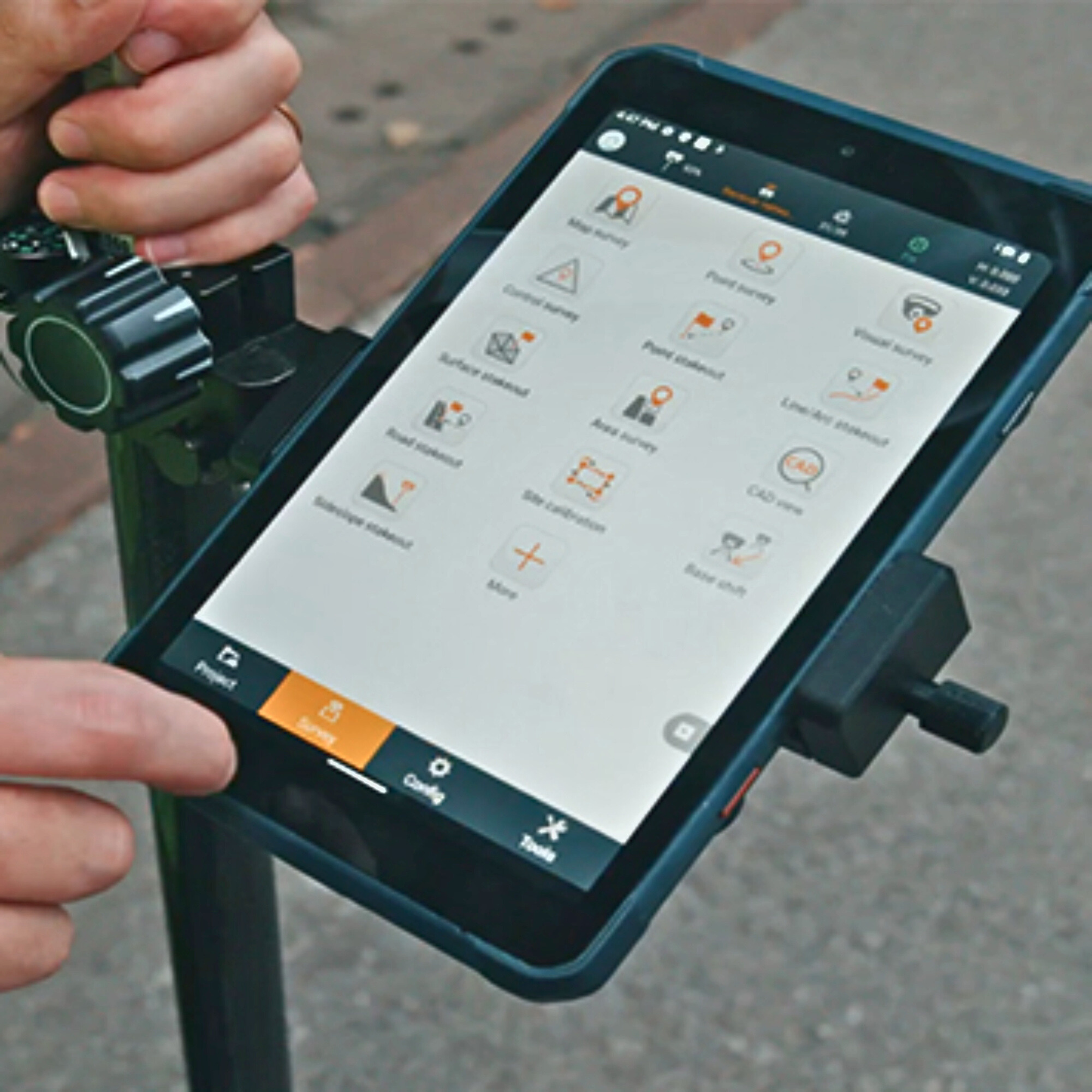
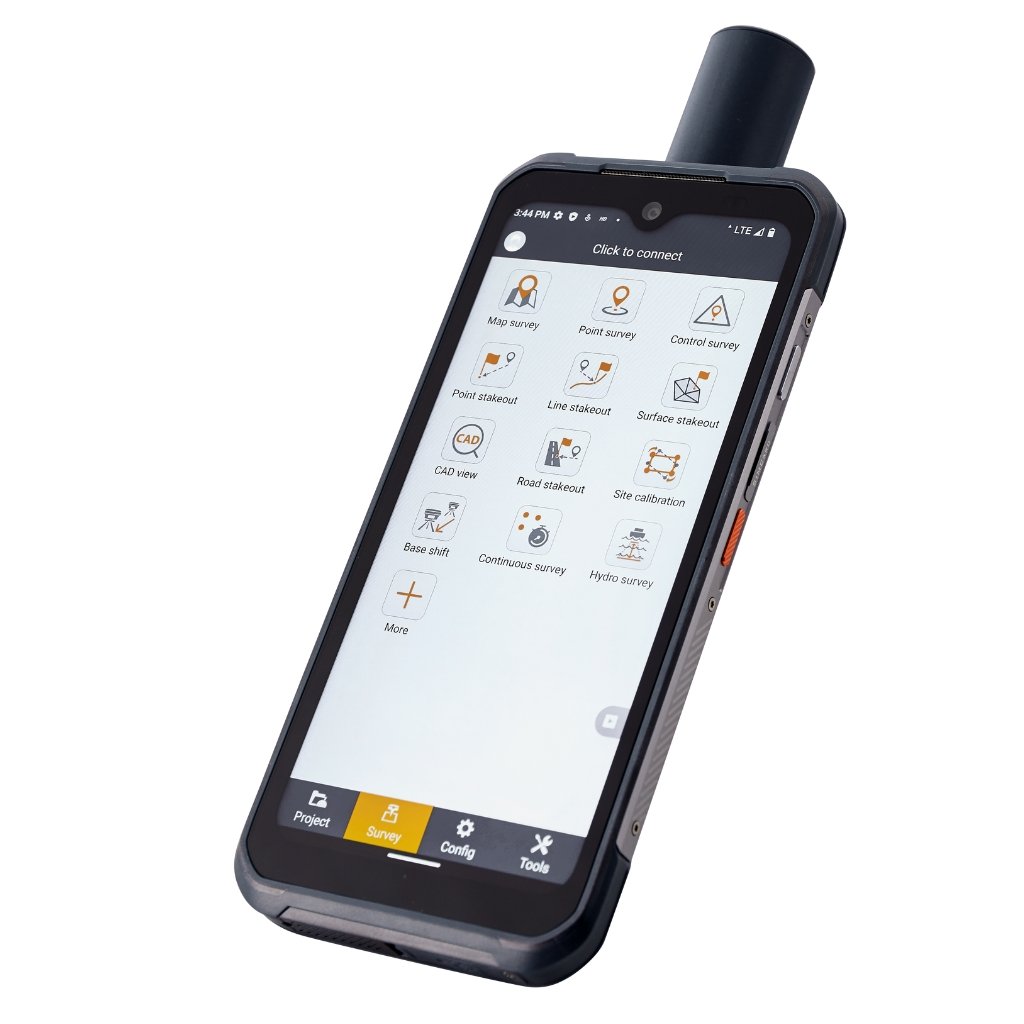
Versatile Application Support
The LT60H is compatible with numerous third-party Android-based mapping applications. Its GMS and AER certifications ensure full compatibility with popular data collection applications from the Google Play Store.
Comprehensive Connectivity
Stay connected with built-in 4G, WiFi, and Bluetooth 5.1. The LT60H ensures seamless communication between field and office, supporting RTK GNSS network corrections and efficient data transfer.